Marble Canyon
 Redwall Cavern at mile 35. This is where an opening has been eroded into the massive Redwall Limestone. That opening has been lined with a floor of sand although no new sand is being added now because of Glen Canyon Dam upstream.
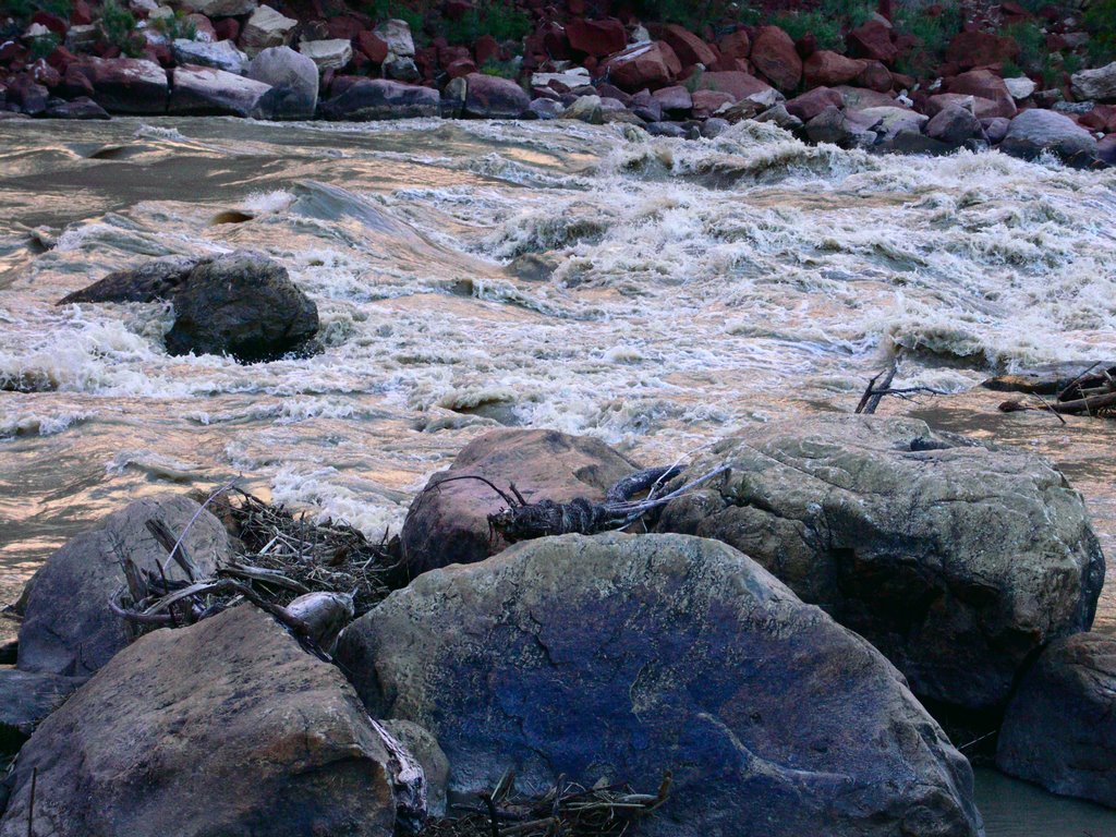 Soap Creek Rapid, mile 12, late afternoon. This was our first camp.
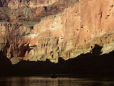 The walls of Marble Canyon. Actually, much of the rock is limestone, not marble. The massive red cliff pictured is the Redwall Limestone. It's not actually red inside, but is colored on the surface by other material that has washed down over it. Where the Redwall is at river level, there are unforgettable vertical cliffs along the water.
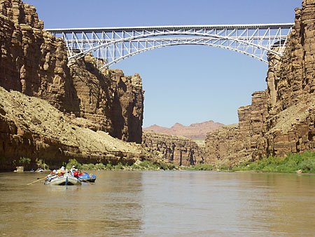 We've just passed under Navajo Bridge, about four miles downstream from our launch at Lee's Ferry. There are two bridges visible. A wider one was built several years ago and the old one (farthest away, upstream) is now a footbridge. With our boat already set up, a friend and I walked out onto it several years ago, the evening before my last Grand trip.
There came a time when the Lee's Ferry boat washed away. I think it was 1929. Navajo Bridge wasn't quite finished yet and the next place downstream where vehicles could cross the river was Hoover Dam, far downstream! A rather short trip to the other side of the new bridge suddenly became very long.
posted by Tom Rampton @ 5:39 PM
![]()
![]()


0 Comments:
Post a Comment
<< Home